River and Coastal Survey Team
In 2002, the Water Resources Bureau and the Department of Water Resources under the Ministry of Economic Affairs were integrated to establish the Water Resources Agency, Ministry of Economic Affairs. Within the agency, the River Survey Team was established, responsible for the demarcation and announcement of areas for centrally managed rivers, drainage systems, and coastal levees; the planning and implementation of river and drainage surveying techniques and related projects; the supervision of river surveying operations managed by counties and cities; and the digitization of maps for rivers, drainage systems, and coastal levees, in order to support the Water Resources Agency in managing centrally governed rivers, regional drainage systems, and general coastal levee areas.
The purpose of producing cadastral maps for centrally managed rivers, regional drainage systems, and general coastal levee areas—for example, in the case of river zone surveys—is mainly to provide the basic basis for land use management within river areas, permits for planting on public river land, river governance planning, and land acquisition for engineering projects. This serves as the primary prerequisite for river management and governance. The demarcation is closely related to the rights and interests of the public and must be reviewed and revised in a timely manner in response to changes in hydrological and geological conditions of river channels, in order to reflect actual conditions.
In 2023, in response to government organizational restructuring, the Water Resources Agency designated the River Branch to handle the management, surveying, demarcation, and adjustment of river areas, levee areas, and regional drainage facility zones. The Field Team under the River Survey Team was merged into the Water Resources Planning Branch, and the River and Coastal Survey Team was established within the River and Coast Planning Section, tasked with producing and maintaining cadastral maps for river areas, levee areas, and regional drainage facilities. This division of work and specialization aims to provide more accurate and reliable mapping data to meet the Water Resources Agency’s needs in managing centrally governed rivers, regional drainage, and general coastal levees.
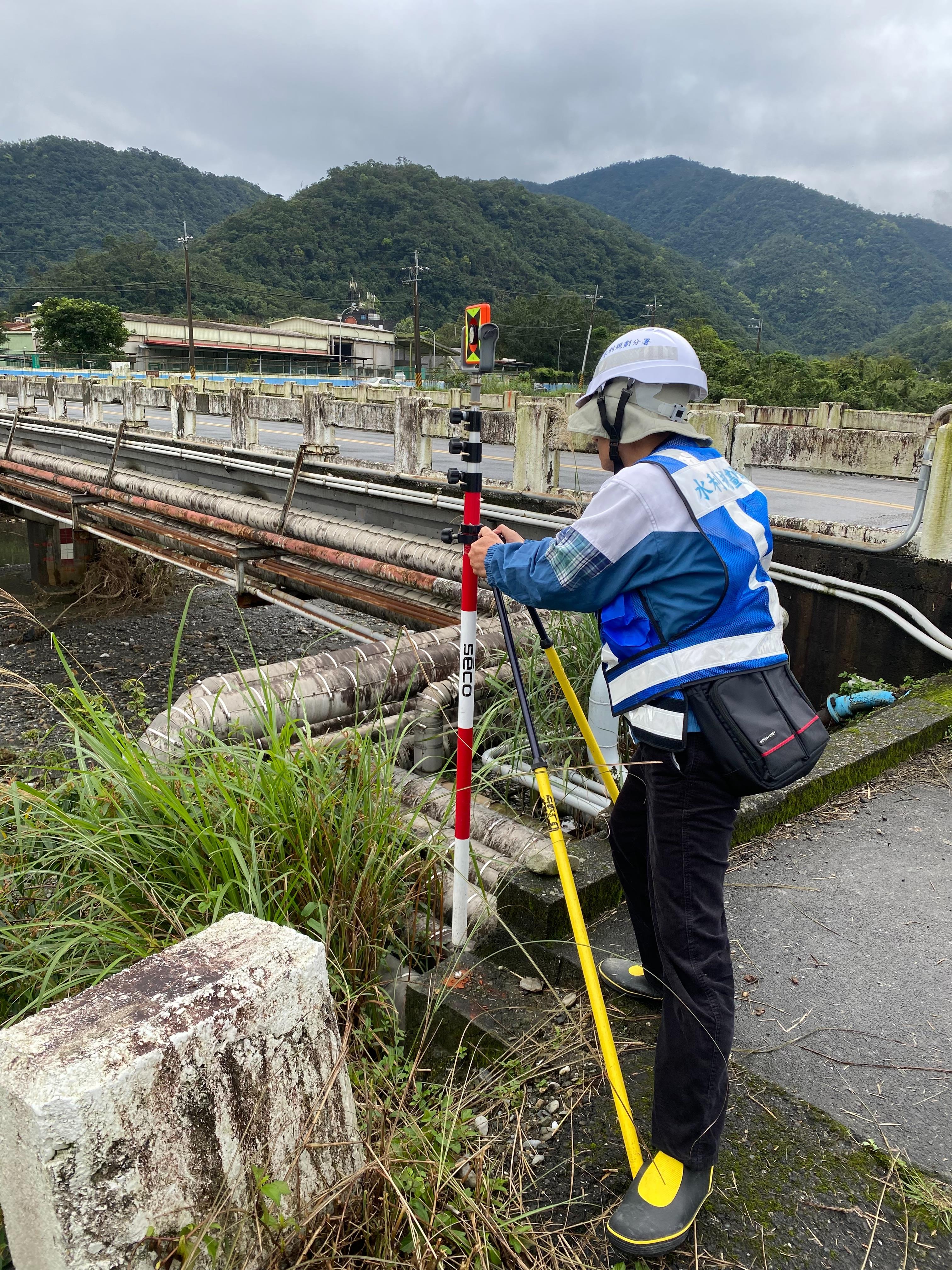 Photo 1 Total Station Prism Setup for River Zone Surveying.
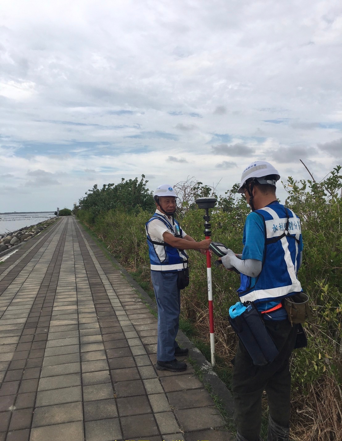
Photo 2 Illustration of RTK positioning survey conducted for coastal levee boundary
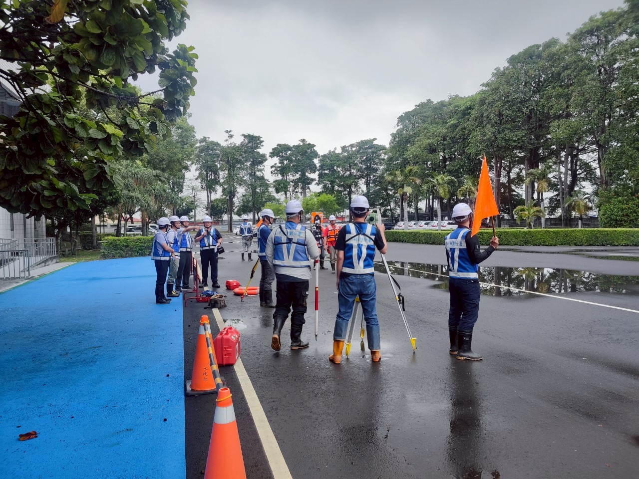
Photo 3 Occupational Safety Awareness for the River and Coastal Survey Team.