1. Survey Stage
- Site reconnaissance
- Vertical control survey
- Horizontal control survey
- Installation & survey of cross-section stakes
- Topographic surveying
2. Cartography & Data Compilation
- Procurement of relevant map sheets
- Georeferencing and integration of cadastral maps
- Overlay of related layers (red–yellow–green control lines, topographic maps, public/private land, urban planning maps, protection forests, etc.)
- Delineation of river administrative boundaries
- Production of river cadastral map books
3. Review by River Branch (optional)
4. WRA Review
- Exempt from convening the Review Committee.
5. Approval
- Submit consolidated deliverables to the Water Resources Agency (WRA); the WRA forwards them to the Ministry of Economic Affairs (MOEA) for approval.
6. Promulgation
- According to the numbers of reports/drawings specified by the WRA, the River Branch submits to the WRA, which then files to the MOEA for public announcement.
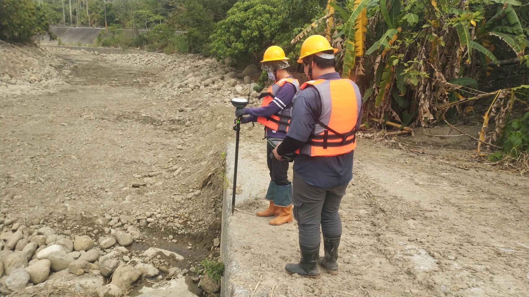
Photo 1. Schematic of RTK (Real-Time Kinematic) positioning for a river-area survey.