1. Survey Stage
- Site reconnaissance
- Vertical control survey
- Horizontal control survey
- Installation & survey of cross-section stakes
- Topographic survey
2. Cartography & Data Compilation
- Procurement of relevant map sheets
- Georeferencing and integration of cadastral maps
- Overlay of related layers (original promulgated seawall mapbook, topographic maps, public/private land, urban planning maps, protection forests, etc.)
- Delineation of seawall area boundaries
- Preparation of delineation result maps
- Parcel subdivision calculations
- Preparation of change (amendment) registers
- Report preparation
3. Review by River Branch
- Convened by the Branch Director/Deputy Director; relevant agencies invited for review.
4. Filing with the River Branch (Record)
- Revise per review comments; finalize the Seawall Area Survey Report (Revised) for record.
5. Approval
- Submit the survey report, seawall mapbook, and related deliverables; the WRA forwards to the MOEA for approval.
6. Promulgation
- According to WRA-specified quantities of reports/maps, the River Branch submits to the WRA, which files to the MOEA for public announcement.
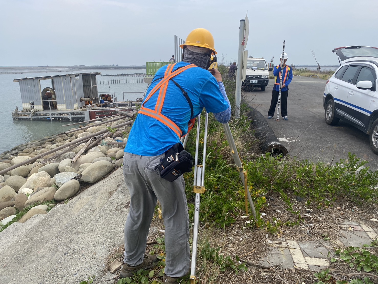
Photo 1. Illustrative photo of leveling survey for the seawall area review & revision survey.